Papers & research
Selected publications behind the data, methods, and thinking of the K4GGWA Evidence Hub
A selection of peer-reviewed research relevant to the data, methods, and restoration science behind this hub - from the remote sensing and soil spectroscopy methods underpinning our own data pipeline, to the wider science of ecosystem restoration.
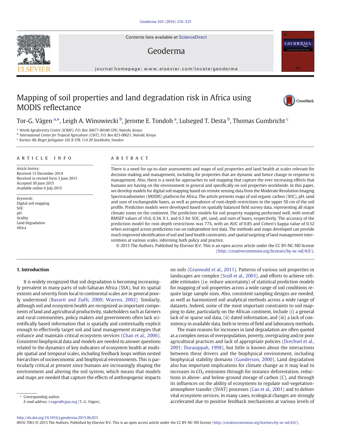
Develops digital soil mapping models using MODIS satellite reflectance to produce continent-wide, 500 m resolution maps of soil organic carbon, pH, sand content, exchangeable bases, and the prevalence of root-depth restrictions across Africa.
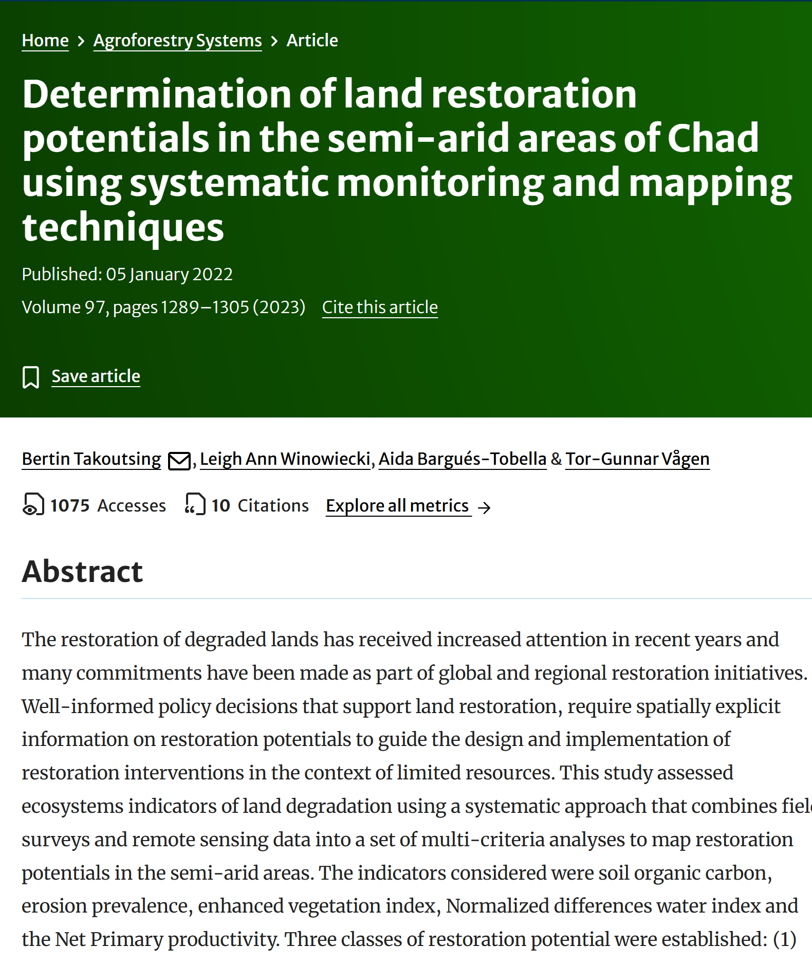
Uses the Land Degradation Surveillance Framework (LDSF) to combine systematic field surveys with remote sensing across eight landscapes in Chad's Sahelian zone, mapping restoration potential from indicators including soil organic carbon, erosion prevalence, and vegetation condition.
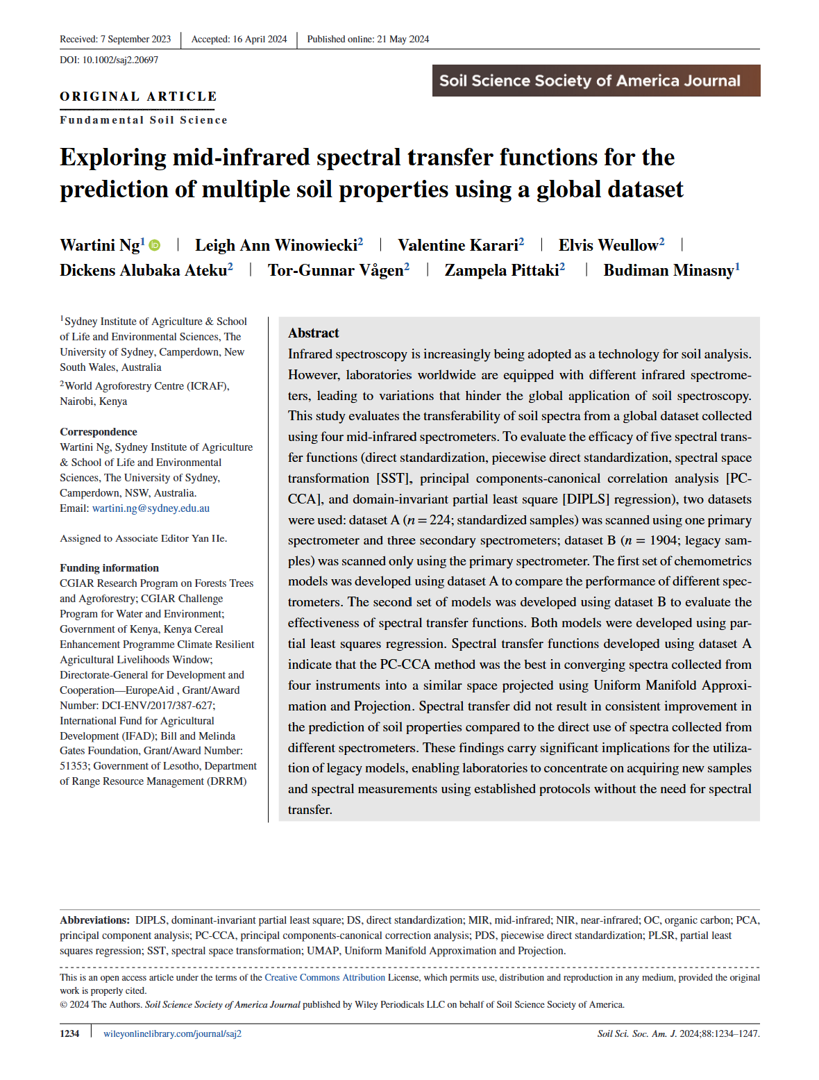
Tests methods for transferring soil spectral calibrations across four different mid-infrared spectrometers, addressing a key practical challenge for scaling soil spectroscopy consistently across labs using different equipment.
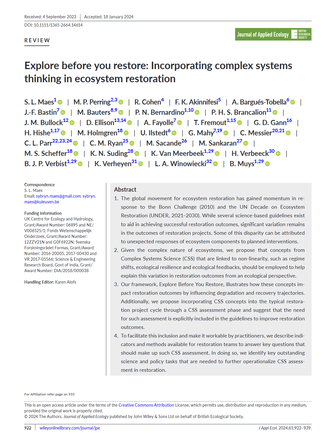
Proposes incorporating Complex Systems Science concepts - regime shifts, ecological resilience, and feedbacks - into restoration project planning, with practical indicators practitioners can use to assess these dynamics before intervening.