Module 1: Spatial evidence for restoration decision-making
Using maps and spatial indicators for evidence-based restoration
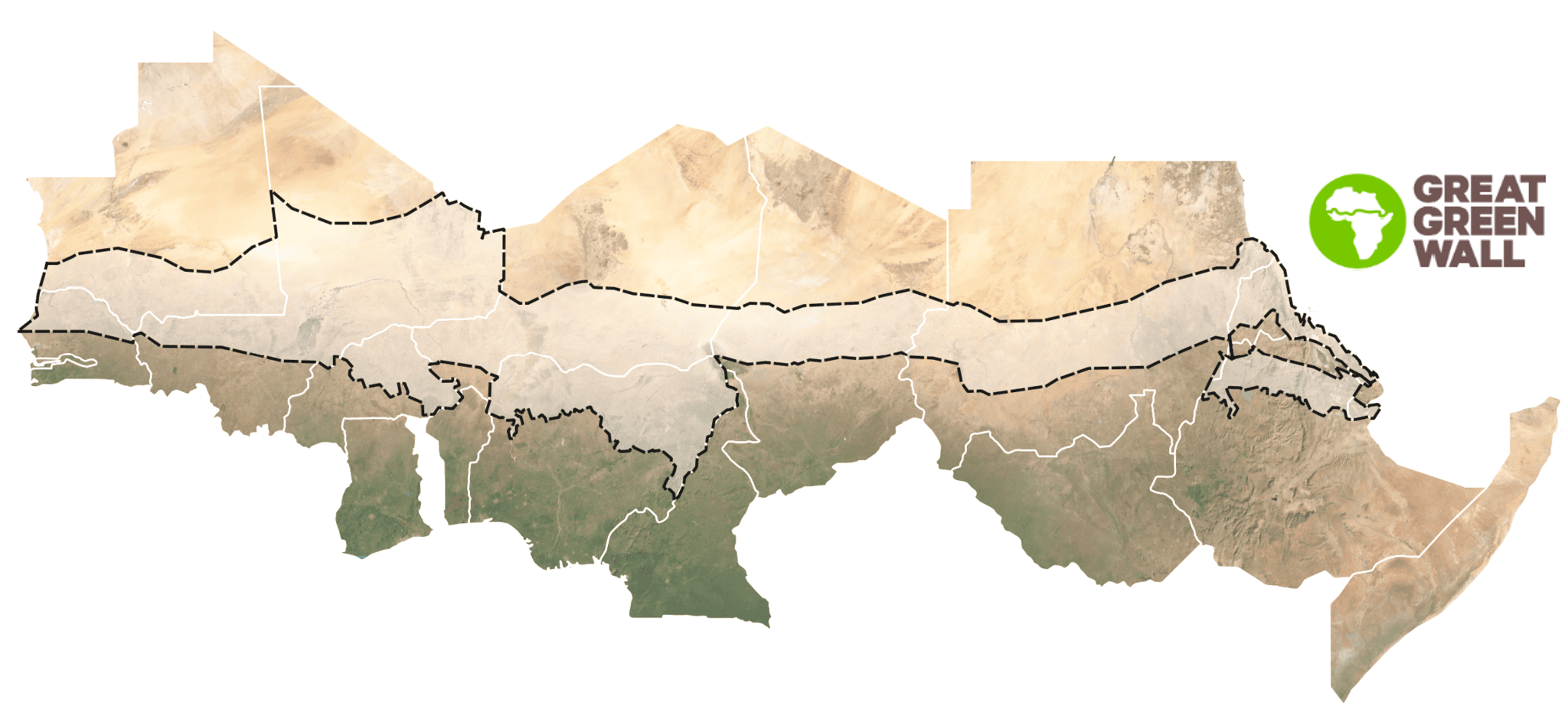
This module introduces spatial evidence in plain language and explains why it is useful for restoration decision-making across the Great Green Wall.
In practice, restoration programmes are faced with many constraints from limited budgets, limited time, and access to information and support tools. Spatial evidence and data help decision-makers more effectively and efficiently manage resources, both financial and material, by supporting defensible choices about where to act, what to do, and how to track progress.

- 1.1 - Restoration decision cycle and evidence needs
- 1.2 - Why spatial evidence for restoration?
- 1.3 - Understanding and working with spatial evidence
What you will learn
By the end of Module 1, you should be able to:
Explain how spatial evidence supports decisions across the restoration cycle.
Describe why science-based spatial evidence helps address common challenges in restoration decision-making, such as limited time, resources, and information.
Explain why being able to understand how spatial evidence is produced and how to interpret it, makes you a more effective restoration practitioner, and how it can be used to support more transparent and accountable decisions.