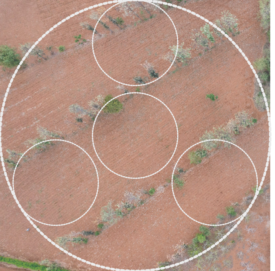
LDSF radial-arm plot design
An end-to-end system connecting LDSF field surveys, regional soil labs, Africa’s largest soil spectral database, predictive mapping, open data infrastructure, and decision-support for resilient restoration.
We collect high-quality, comparable soil and land health data using the Land Degradation Surveillance Framework (LDSF). Our approach is systematic, agile, and cost-effective—designed for Africa’s diverse landscapes and the realities of fieldwork.
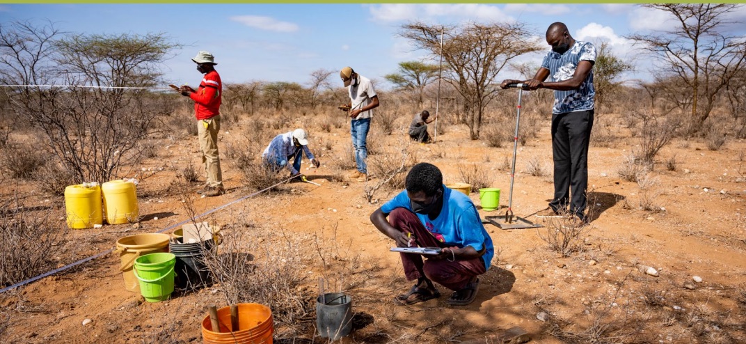
Field data calibrate and improve laboratory analytics, soil and vegetation data powers predictive maps, open infrastructure makes the evidence accessible and usable, and decision-support tools turn it into restoration action.
Systematic sampling using the LDSF framework across Africa’s diverse landscapes for high-quality, comparable evidence at scale.
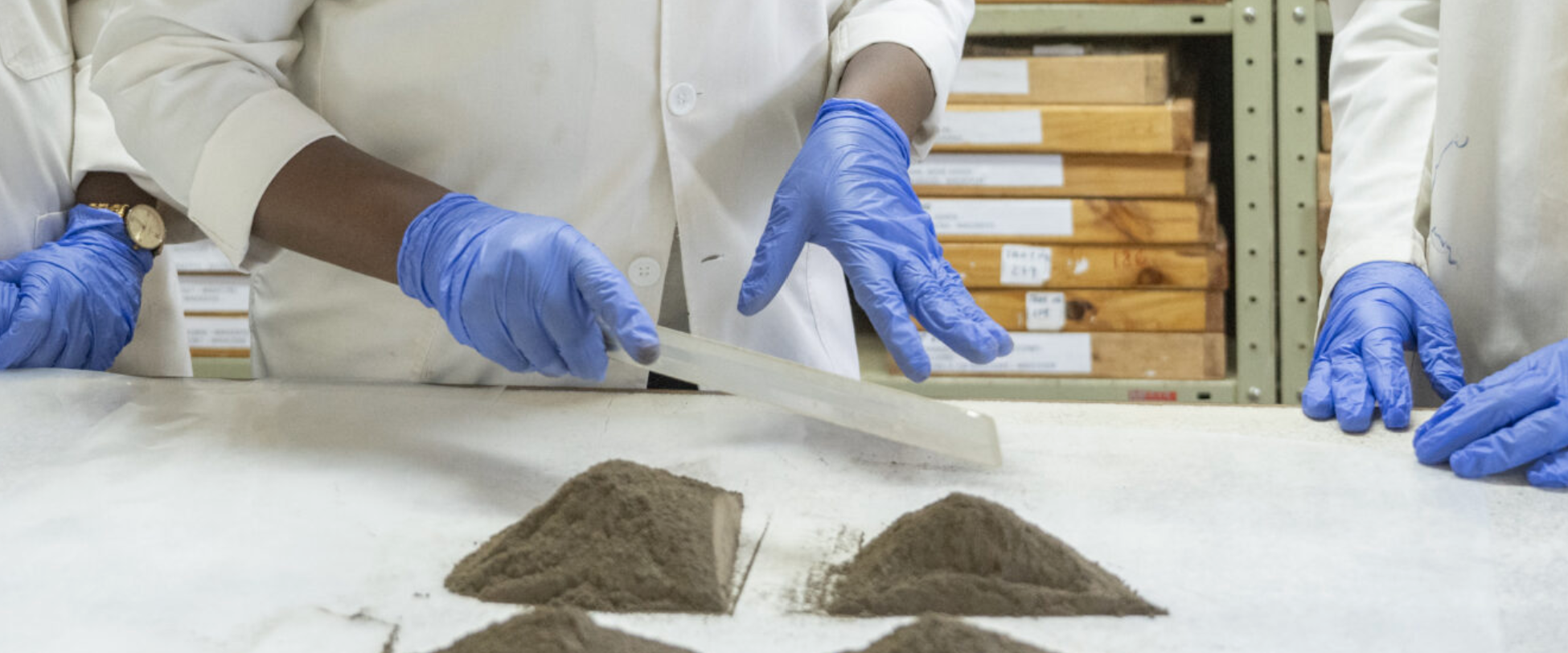
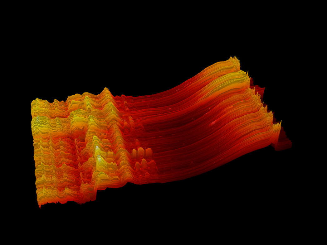
Africa’s largest soil spectral library, plugging a critical gap across the continent.

State-of-the-art models & explicit uncertainties.
Interoperable, transparent and FAIR - so maps, metadata, and outputs can be reused across many different workflows and decision-cases.
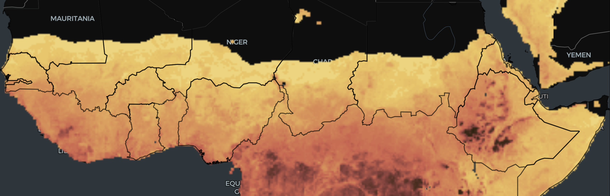
Evidence-based insights to guide action and track outcomes.

Empowering local actors, labs, and institutions across Africa.
Rigorous methods, standards, and QA/QC for trusted results.
Open, accessible, interoperable data and transparency.
Data owned and governed in Africa, for African priorities.
For long-term trend analysis and landscape assessments.
Better information for better restoration outcomes.