From Land Degradation Maps to Restoration Action in Louga and Matam, Senegal
10 min
Degradation Predictive modeling Restoration monitoring
May 1, 2026
2026-09-15

In the Sahel, increasingly unpredictable rainfall regimes are causing both drought and floods. We explore how dryland restoration techniques can better harvest and control water for climate resilient communities and more productive landscapes.

Known for their unpredictability and eraticness, rainfall regimes across the Sahel have long-perplexed climate scientists, ecologists, farmers and communities. General summary of hydrological patterns and variability. observedinterannual to multidecadalvariability seasonalmean rainfall depends on large-scale drivers of atmospheric circulations that arewell resolvedbycurrentclimatemodels.

These observations challenge outdated notions of dessication and desertification in the Sahel, that were based on simplistic land-atmosphere feedbacks, that didn’t yet account for the biosphere, etc. These trends and patterns are observable/explainable from increasingly capable modeling and computational capabilities, and we continue to learn more about these systems with more data, infrastructure, etc. Old notions based on charney’s theory, increasing compute and modeling capabilities now lets us model intensive coupled feedbacks from the biosphere as well. General overview of the history of Sahelian climate understanding.

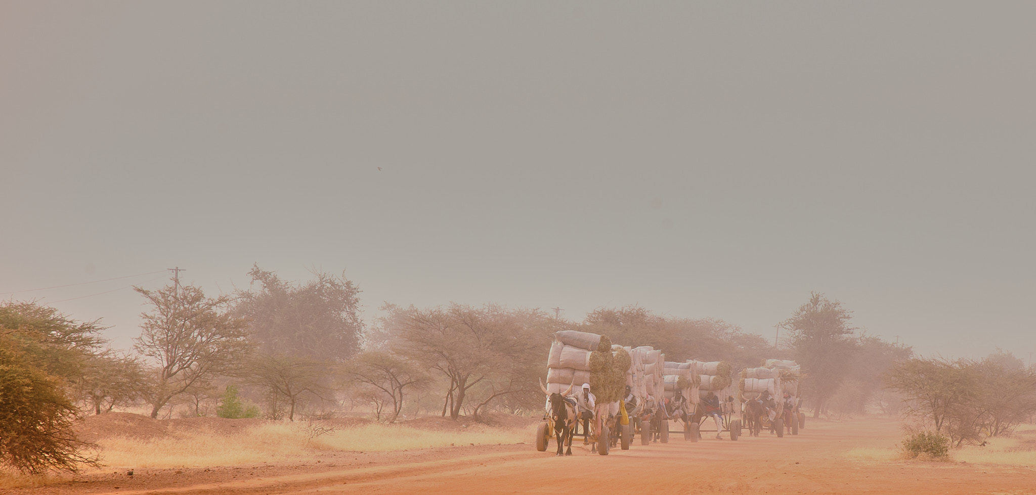
Where infiltration is limited, intense rainfall can generate rapid runoff, erosion and flooding. Community members working in the Ferlo described this contrast directly: water can be difficult to access for much of the year, while wet-season flooding can damage fields or overwhelm water infrastructure.

The restoration question
Soil and water conservation, improved soil condition, contouring and other landscape-management practices can help slow runoff and increase opportunities for infiltration. The aim is not to create more rain — but to make better use of the water that arrives.
Annual rainfall totals don’t tell us everything about the water problem.
Heavy rainfall events can become increasingly important even when annual rainfall totals remain highly variable.03 / Water on the ground
In dryland pastoral systems, the timing of rainfall matters because it determines when grazing resources, surface water and forage become available. A landscape can appear productive for a short period and still face severe water constraints during the rest of the year.
When rain arrives in a small number of intense events, much of the water can move quickly across the surface. The challenge is therefore not simply to receive rainfall, but to retain enough of it in the landscape for plants, soils, people and livestock to use later.
The Ferlo
The Ferlo is a predominantly pastoral dryland region where access to water, grazing resources and seasonal movement are closely connected. Here, rainfall variability becomes a livelihood issue.
MAP TO SHOW: Ferlo location, pastoral units and the selected area of focus.
At the scale of pastoral units and local infrastructure, the question becomes more specific: where does rainfall infiltrate, where does it accumulate, and where does it leave the landscape as runoff or flooding?
DATA TO SHOW: pastoral-unit polygons, local water features, and eventually climate or water-response rasters with tooltips.
A different question
Instead of asking only whether rainfall is increasing or decreasing, we can ask how much water is captured, infiltrates into the soil, remains available to vegetation, or is lost rapidly as runoff.
DATA TO SHOW: soil moisture, rainfall anomaly, runoff/flood occurrence or another final selected water-response variable.
Restoration can help change how rainfall moves through the landscape. Rather than allowing water to rapidly leave the system as runoff, landscape interventions can slow flows, redistribute water and create more opportunities for infiltration and storage.
01
Landscape restoration can reduce the speed at which rainfall becomes runoff, giving water more time to interact with the soil.

02
Contour-based and other runoff-management practices can redistribute water across the landscape rather than allowing concentrated flows to move rapidly downslope.

03
Improving soil structure and ground cover can increase opportunities for rainfall to infiltrate. More water retained in the soil can support vegetation through dry periods, while appropriately designed water-harvesting infrastructure can help make seasonal water available for people and livestock.

Earth observation can help us follow the chain from rainfall to soil moisture and vegetation response, providing spatial evidence about how water moves through and affects the landscape.
01
Satellite rainfall products can help describe where rainfall is arriving, how variable it is and whether intense events are becoming more or less common.

02
Where suitable observations are available, soil-moisture data provide another window into how much water remains in the landscape after rainfall.

03
Vegetation indices and seasonal dynamics can help show whether improved water availability is translating into a stronger or more persistent vegetation response.

04
With appropriate baselines and controls, EO data can help compare restoration areas with surrounding landscapes and assess whether observed changes are consistent with intervention effects. The goal is to turn environmental evidence into information that communities, practitioners and decision-makers can use.

Looking ahead
In dryland landscapes, water scarcity and water excess are not necessarily opposite problems. They can be two expressions of the same highly variable rainfall regime — particularly where rainfall arrives in intense events and landscapes have limited capacity to retain it.
Restoration therefore has a role beyond increasing vegetation cover. Soil and water conservation, improved ground cover, managed grazing and water-harvesting measures can help change how rainfall moves through a landscape, creating more opportunities for infiltration and storage while reducing damaging runoff.
Earth observation can help us track these changes over time and across large areas. Combined with field observations and community knowledge, it can provide a way to test which interventions are working, where they are working, and how lessons can be carried into other restoration landscapes across the Great Green Wall.