Citizen science for scaling of restoration monitoring!
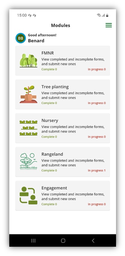
The Regreening App
Citizen science plays a critical role in monitoring land restoration initiatives by dramatically expanding the spatial and temporal coverage of data collection. Traditional monitoring approaches relying solely on professional researchers or technical staff are constrained by limited resources and personnel, making it challenging to document restoration activities across large geographic areas or over extended time periods. By engaging local farmers, community members, and field practitioners as data collectors, restoration programs can achieve monitoring scales that would otherwise be logistically and financially prohibitive.
The involvement of citizen scientists in land restoration monitoring generates multiple co-benefits beyond data collection. Participants develop technical skills in species identification, GPS technology use, and ecological observation methods. This capacity building strengthens local knowledge systems and creates communities of practice around restoration techniques. Additionally, direct participation in data collection can increase stakeholder investment in restoration outcomes and improve the long-term sustainability of interventions.
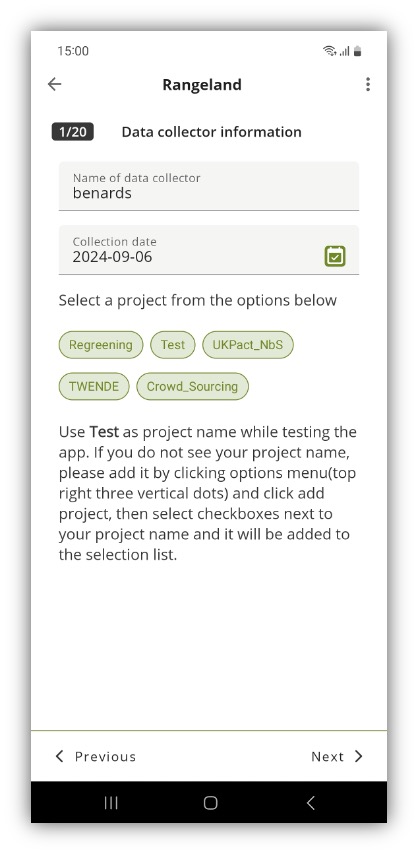
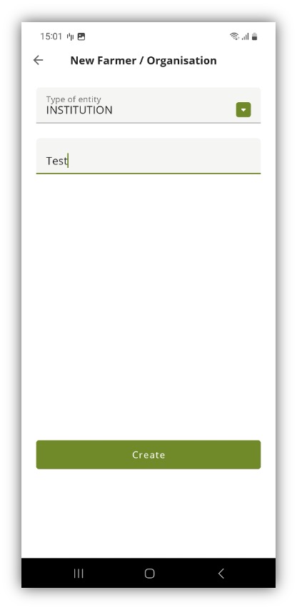
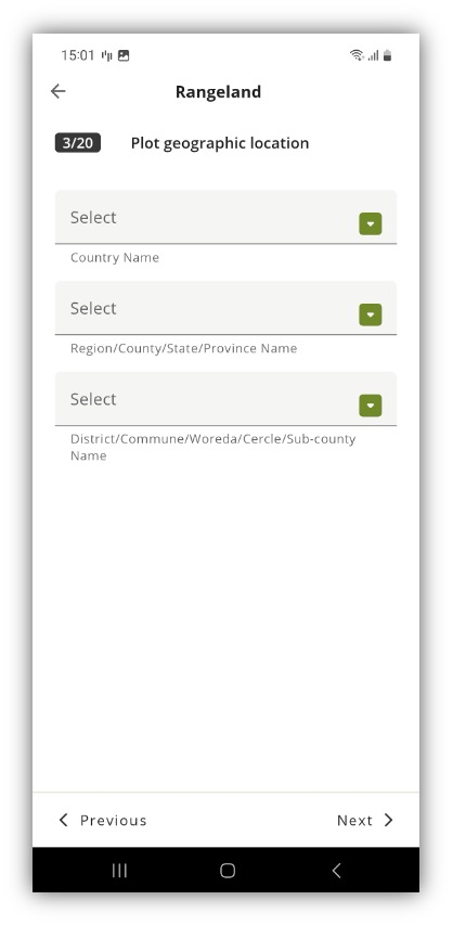
Data quality and standardization present both challenges and opportunities in citizen science-based monitoring systems. While concerns about accuracy and consistency are legitimate, research demonstrates that appropriately designed protocols, user-friendly tools, and quality control mechanisms can yield data comparable to professionally collected information. Mobile applications with built-in validation features, photographic documentation requirements, and structured data entry fields help maintain data integrity while keeping participation accessible to non-specialists.
The integration of citizen science data into broader restoration monitoring frameworks enhances adaptive management capabilities. Real-time data flows from field-level observers enable practitioners and policymakers to identify implementation challenges, track progress toward targets, and adjust strategies based on evidence. This responsive approach to restoration management contrasts with traditional monitoring cycles that may involve significant time lags between data collection and decision-making.