Citizen science and FMNR in Senegal
restoration
citizen-science
FMNR
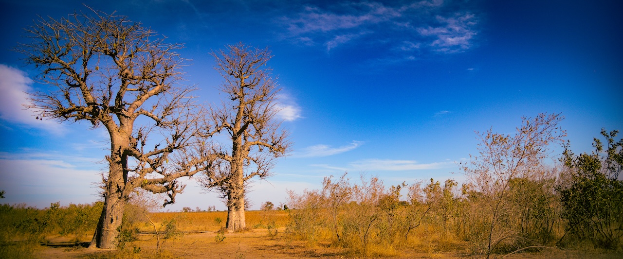
In Senegal, the Regreening App was widely adopted to document Farmer Managed Natural Regeneration (FMNR) activities, helping to monitor and assess the impact of regreening interventions, particularly in Fatick, Kaffrine, and Kaolak regions.
Regreening Senegal
The Regrenning App was developed to help farmers, extension agents, NGOs, and other stakeholders to track land restoration interventions. In Senegal, the app is primarily used to assess and monitor Farmer Managed Natural Regeneration (FMNR) and other regreening activities.
As shown in the map below (Figure 1), the app has been used to document the location of FMNR sites across the country. The data collected through the app is used to monitor the progress of regreening activities and to assess the impact of these interventions on the environment and local communities.