Citizen science for biodiversity monitoring in the Great Green Wall
18 min
Apr 15, 2026
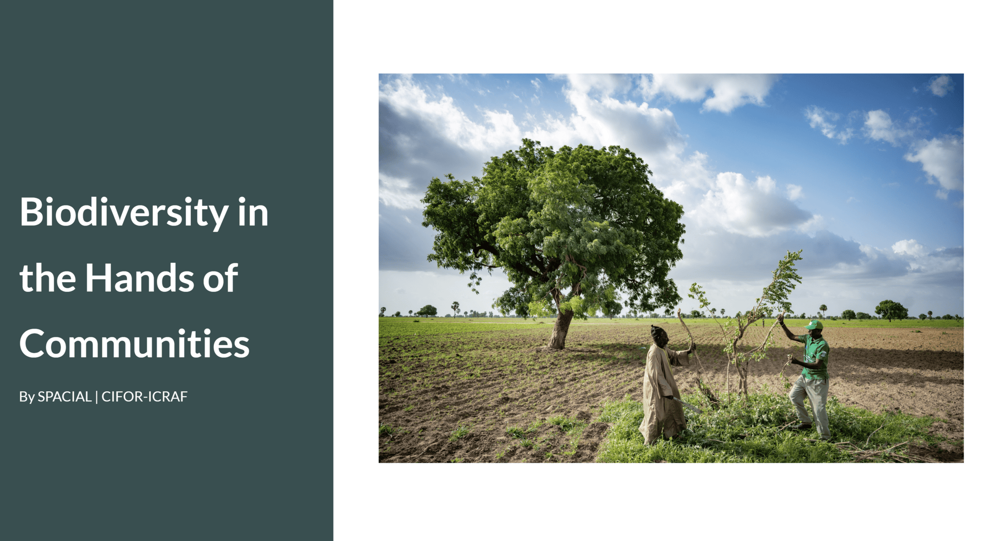
By SPACIAL | CIFOR-ICRAF
15 April 2026
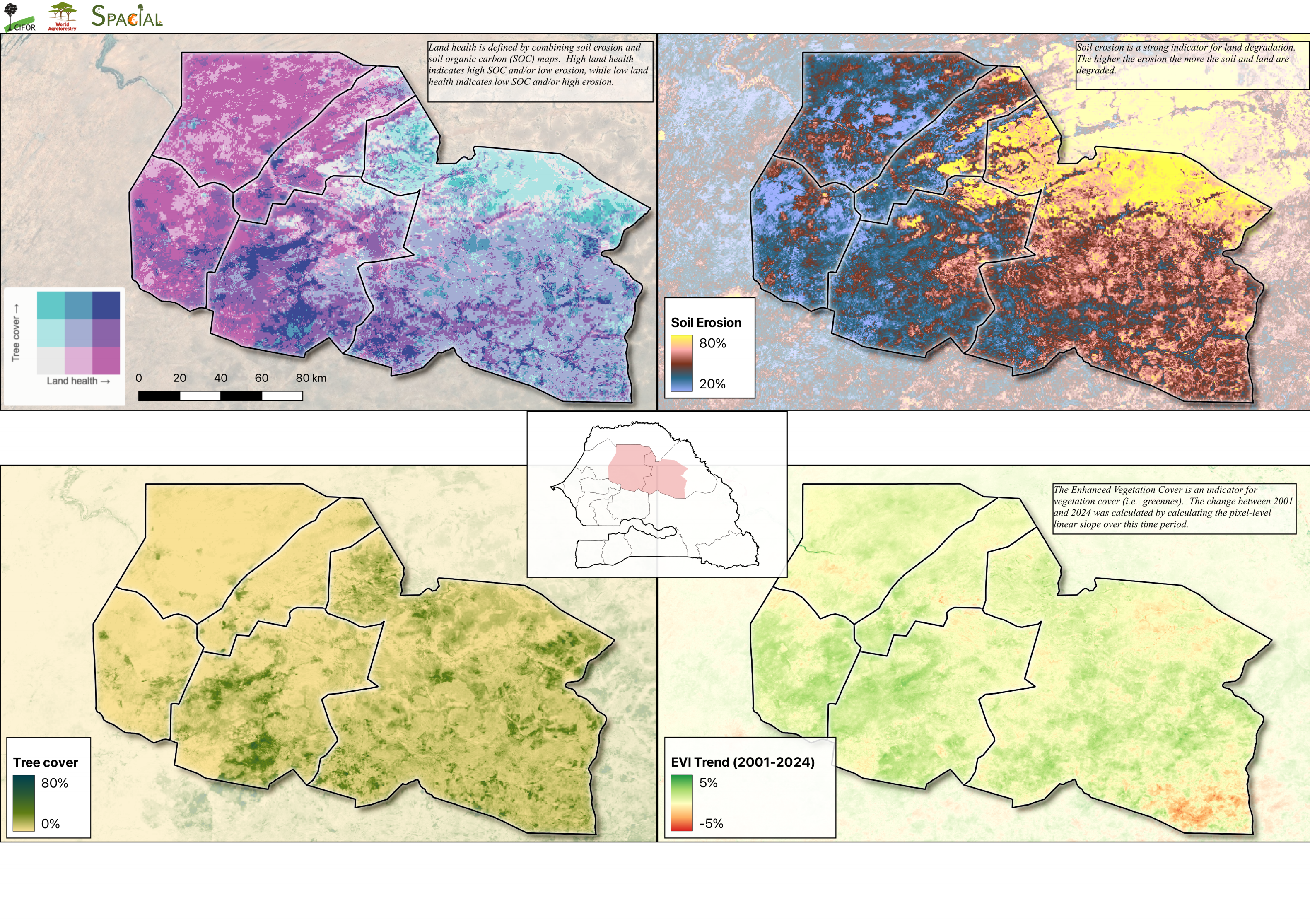
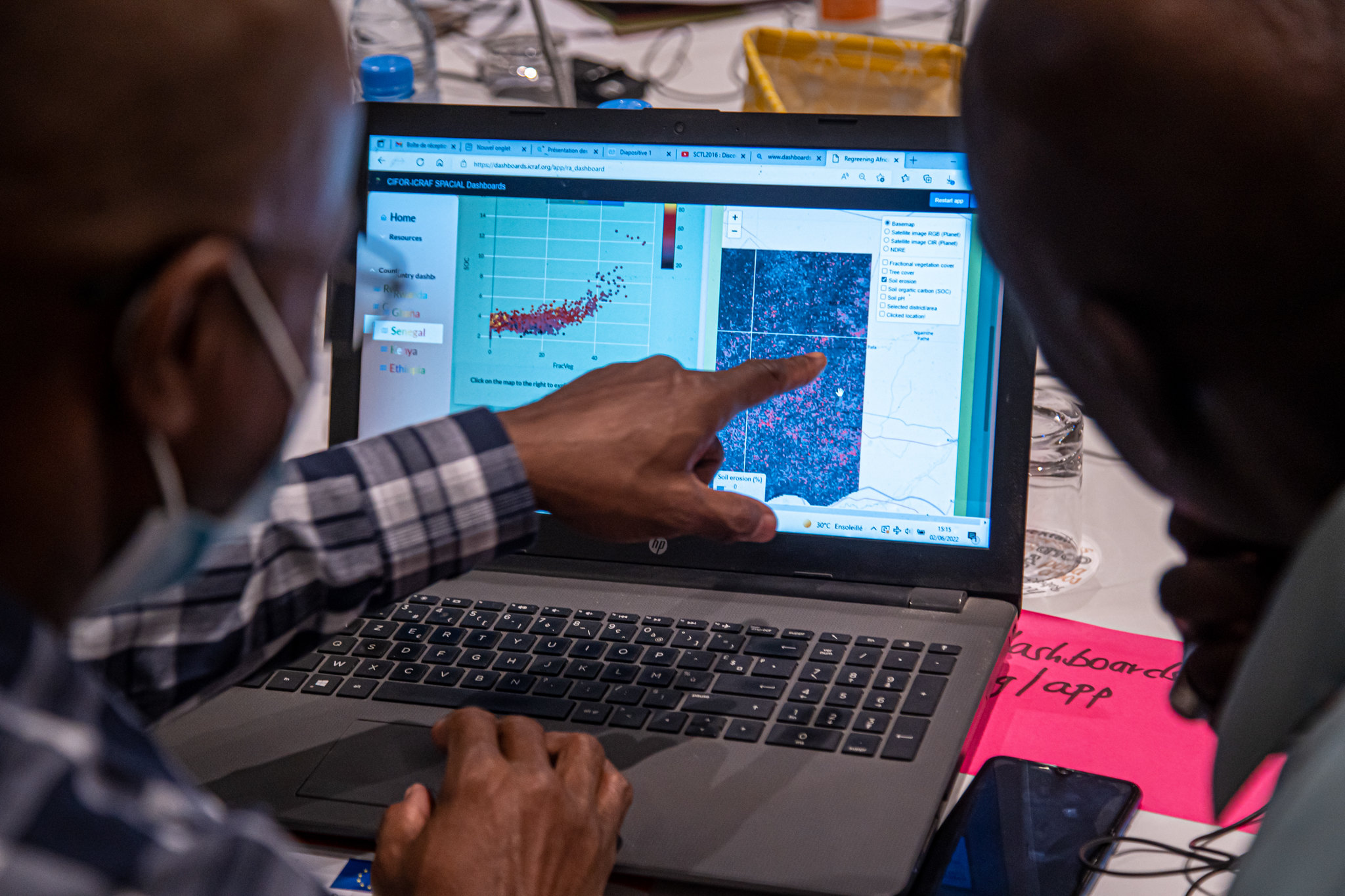
Land health and land cover maps for Senegal’s area of interest under Regreening Africa II.
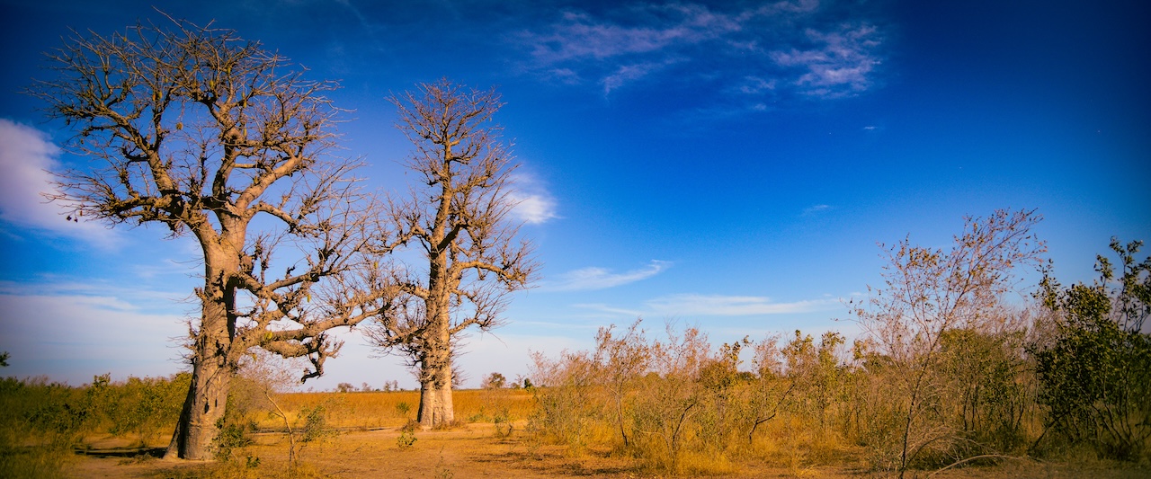
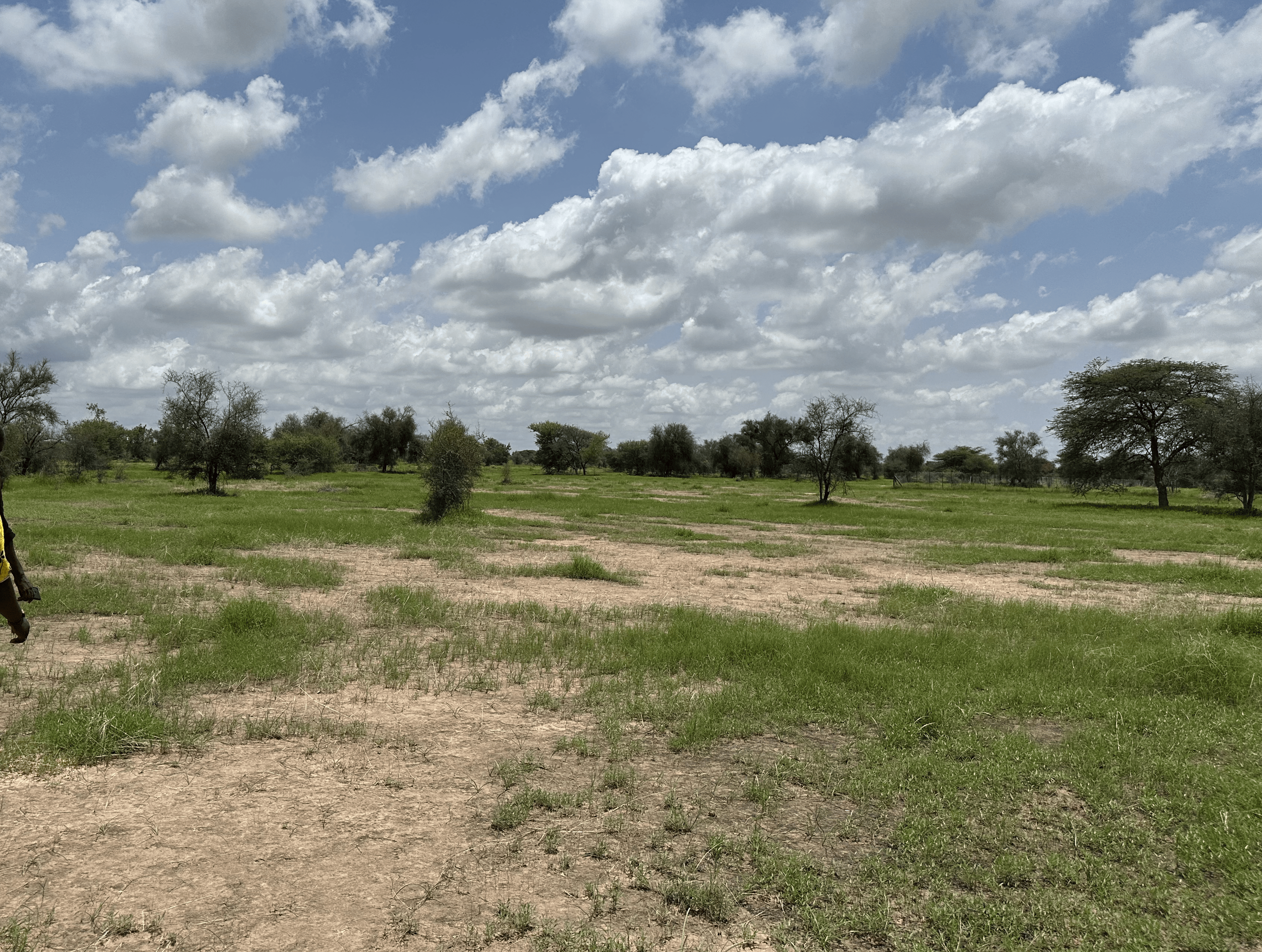
Across Senegal’s Louga and Matam regions, under Regreening Africa II program activities, AVSF are working to strengthen rangeland restoration planning by combining land health evidence, local knowledge, and field-based monitoring tools.
Using land degradation maps generated from LDSF data and spatial modelling, teams were able to identify areas showing the strongest signs of degradation. These mapped hotspots corresponded closely with areas that local actors recognised as being under pressure from recurrent transhumant grazing movements.
The teams used the maps to target priority areas, interpret the drivers of degradation, and design context-responsive interventions, including approaches to holistic grazing management, farmer managed natural regeneration and setting-up fruit tree nurseries. These interventions will be logged and monitored through the Regreening App’s Rangeland, FMNR and Nursery modules, helping link spatial targeting to implementation on the ground.
Across Senegal’s Louga and Matam regions, spatial evidence is being used both to describe degradation and help guide restoration decisions in practice.
Land health maps of degradation indicators, like soil health and tree-cover, as well as land cover class maps like cropland and grassland, highlighted areas of concern, while discussions with local communities and implementation teams helped explain the pressures behind those patterns.
Land health maps as a decision support tool
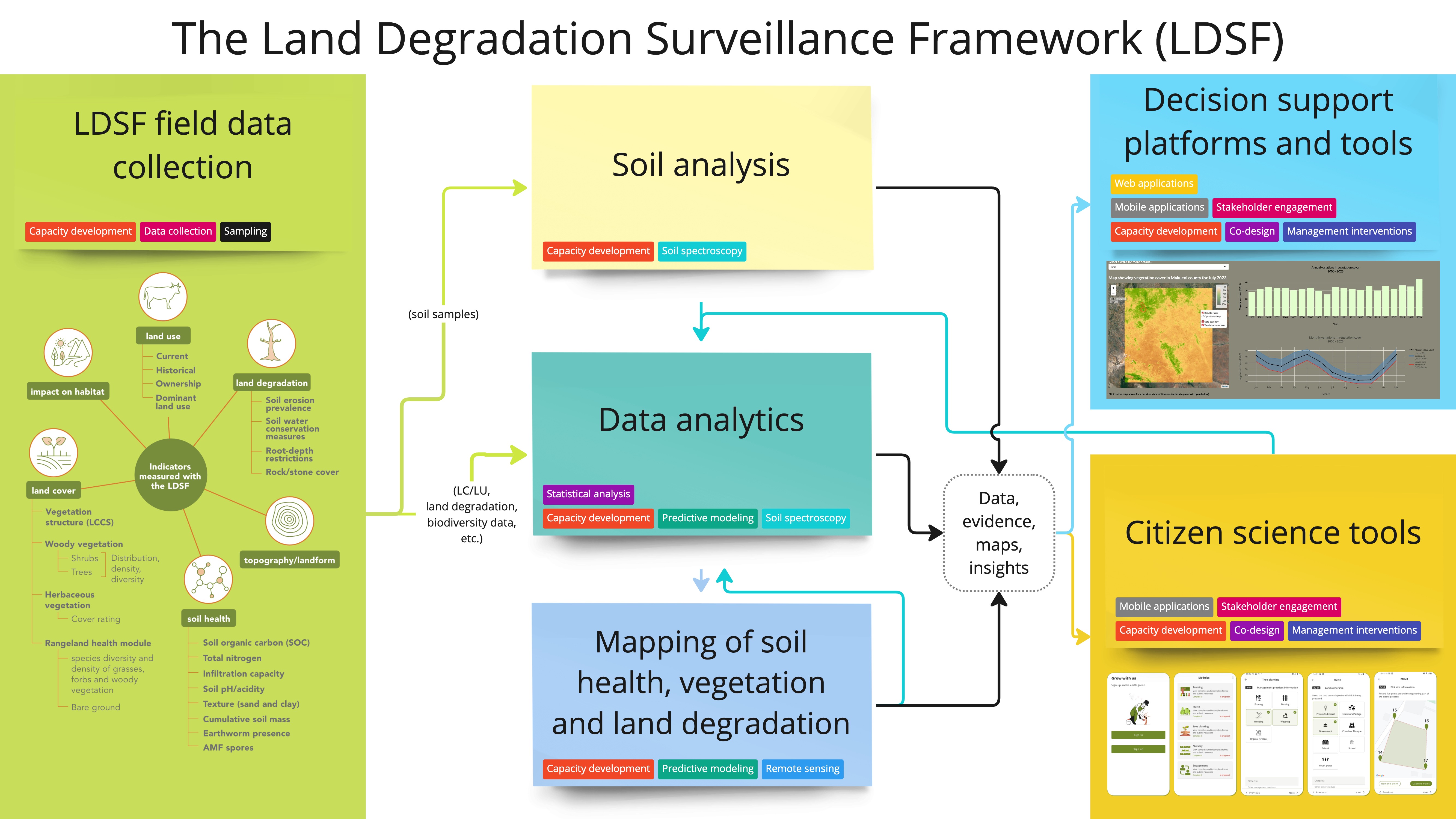
The layers shown here represent land degradation patterns across the intervention landscape. They were generated using the Land Degradation Surveillance Framework (LDSF), which provides the biophysical data used to model broader land health conditions across the area.
AVSF is working in eight different pastoral units. To the south: Younoufere, Velingara, Fourdou; moving north, Louguere Thiolly and Kossas Namary, and in the northernmost stretches, Labgar, Amaly and Tessekere.
Given the expanse of the intervention area, AVSF used these maps to identify sites showing the strongest signs of degradation and to support discussions about where restoration efforts should be focused first.
AVSF identified several sites of low soil health in the northernmost pastoral units as priority intervention areas.
Southern pastoral units exhibited more spatial variability and complex land management factors on-ground, leading to a diversified approach to restoration, including FMNR, controlled grazing, and tree-planting.
Notably, degraded areas shown on the maps aligned with local knowledge.
Community members and field teams recognised these same zones as areas under heavy pressure from transhumant grazing movements, helping to explain why degradation is concentrated there.
This convergence between spatial evidence and local knowledge strengthen confidence in the targeting process, a two-way validation process that makes decision-making more transparent and evidence-based.

Dr. Sidaty Oumar Sow, Program Manager AVSF. Photo credit: ASERGMV.
These maps have helped us a lot. To better understand the conditions of the land and levels of degradation in our intervention areas, and for us to concentrate our efforts in the most degraded areas. These maps have given us the spatial information needed to act. - Sidaty Oumar Sow, Program Manager, AVSF
Once priority degradation zones had been identified, field teams used site visits and local discussions to interpret the pressures experienced in those landscapes. In several cases, hotspots corresponded to areas affected by concentrated grazing pressure and transhumance corridors.
This helped teams understand where pressure is greatest, what kinds of degradation processes are occurring, which interventions are most appropriate in each context and how to measure change in landscape conditions.
Building on earlier collaborations between CIFOR-ICRAF and AVSF (which included a four-day comprehensive training on the LDSF and the Regreening App, and capacity building sessions using land-health maps), a practical training workshop was held in Linguere, Senegal, in January 2026, which focused on holistic grazing management and use of the Regreening App for monitoring restoration activities.
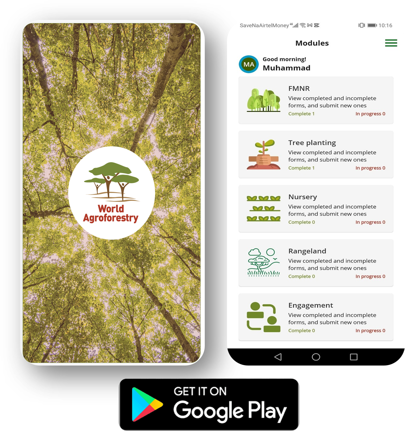
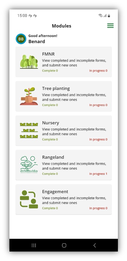
M&E with the Regreening App’s Rangeland, FMNR and Nursery Modules.
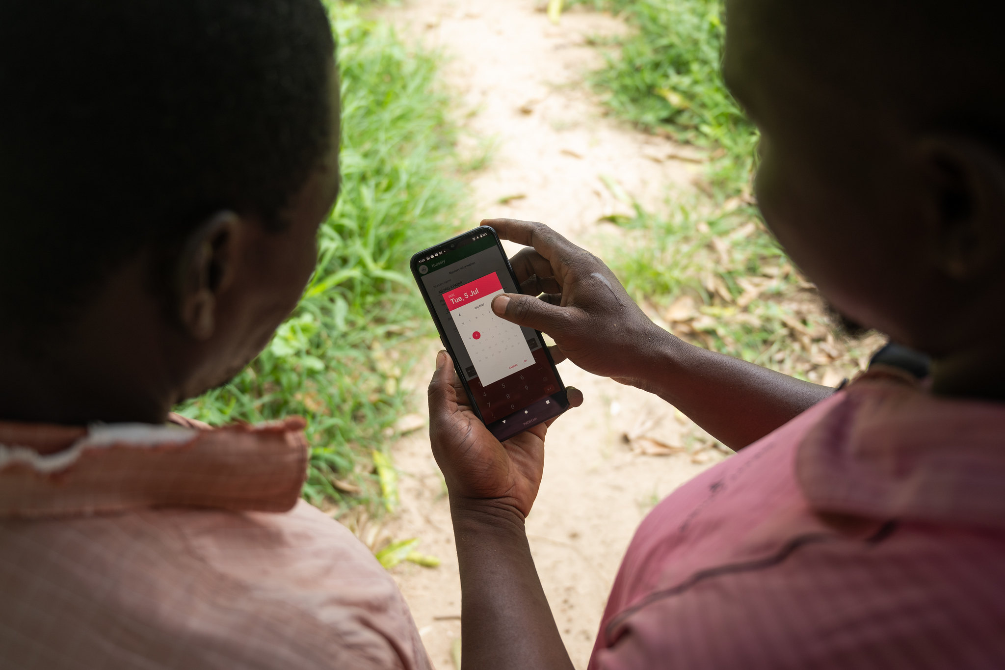
In order to monitor the progress of restoration activities, the AVSF team plans to use the Regreening App’s Rangeland, FMNR and Nursery modules, to capture structured information on activities implemented, as well as when, where and how they were implemented.
This restoration work demonstrates wall-to-wall use of spatial evidence for restoration prioritisation, intervention design, and monitoring. AVSF is using land health maps to identify priority areas and establish a baseline, local knowledge to explain and validate those patterns, and participatory monitoring tools to track implementation and change on the ground.
Once intervention activities are underway, the team will be able to use the Regreening App’s geotagged monitoring data to track where and how restoration is being implemented, and link that information back to the spatial evidence on how conditions in land health are changing, help teams understand how different interventions are working in different contexts, and adaptively manage restoration efforts over time.
For further information on these activities, contact us: a.hawkins@cifor-icraf.org