Monitoring in the Great Green Wall
From reporting to learning and adaptive management
monitoring
adaptive management
Great Green Wall
K4GGWA
restoration
earth observation
citizen science
learning
K4GGWA Cross-Learning Webinar exploring how monitoring in the Great Green Wall can move beyond reporting to support learning, collaboration, adaptive management, and more effective restoration outcomes.
K4GGWA • Online Webinar • Great Green Wall
Monitoring in the Great Green Wall
From reporting to learning and adaptive management
On 2 July 2026, the K4GGWA Cross-Learning Webinar, Monitoring in the Great Green Wall: From reporting to learning and adaptive management, brought together restoration practitioners, policymakers, researchers, development partners, monitoring specialists, and civil society actors working across the Great Green Wall. The event explored how monitoring can move beyond compliance and reporting to become a shared system for learning, collaboration, adaptive management, and more effective restoration outcomes.
Webinar focus
- Reframing monitoring as a tool for learning, decision-making, and adaptive management
- Understanding restoration in the GGW as landscapes, resilience, and ecosystem-functioning
- Connecting fragmented data systems across Great Green Wall initiatives
- Exploring the role of Earth observation, remote sensing, citizen science, field monitoring, and digital technologies
- Identifying how different stakeholders can use monitoring evidence for planning, coordination, reporting, and adaptation
Watch the webinar
A recording of the keynote presentation can be viewed below.
Full playlist for this event can be explored through the link below.

K4GGWA Cross-Learning Webinar Series
Explore the full playlist of the this K4GGWA Cross-Learning event, including the keynote, case studies, panel discussion, and peer-to-peer exchange.
View the complete playlist →Restoring complex landscapes
Landscapes across the Great Green Wall and the wider Sahel region are highly complex socioecological systems shaped by strong seasonal and interannual rainfall variability, diverse pastoral and agricultural systems, myriad land-use pressures, local governance arrangements and many different natural ecosystems. The degradation challenges are therefore no less complex.
Within this context, the Great Green Wall has evolved well beyond its early ambitions as a tree-planting initiative and is increasingly understood as a broad landscape restoration and resilience effort which aims to improve ecosystem function, productive capacity of land and support the resilience, wellbeing, and dignity of the communities that manage and depend on these landscapes.
So what does this have to do with monitoring? In dynamic dryland systems, landscape conditions can vary drastically through time and under different climate or management regimes. Vegetation may fluctuate with rainfall for example, or landscapes may recover soil fertility without necessarily re-greening, at least in the near-term. Livelihood benefits might emerge through changes in productivity, water availability or stronger local institutions but in order to understand these changes, monitoring systems must be capable of engaging with that complexity, rather than reducing it into simple indicators.
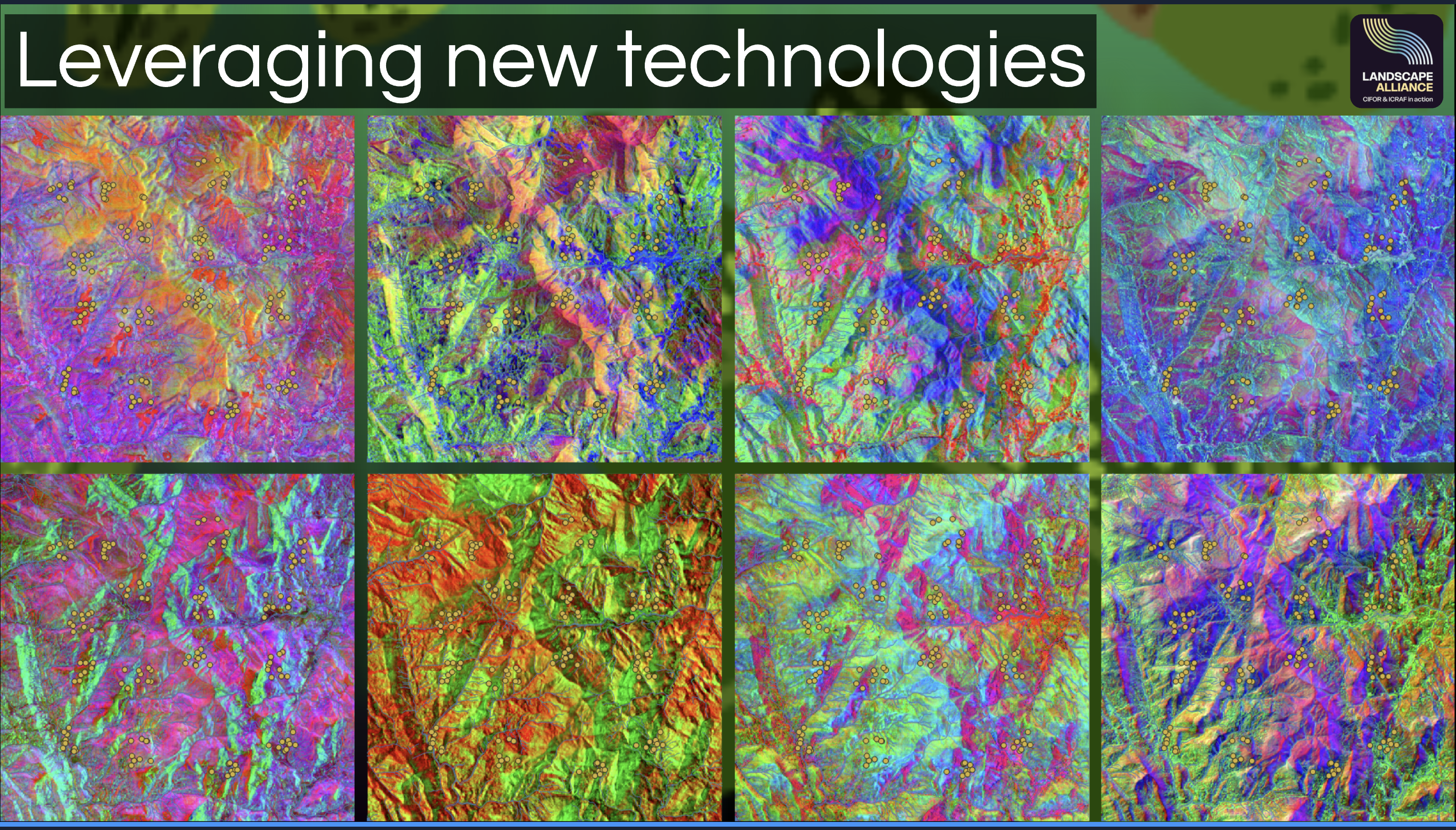 The webinar situated monitoring within the ecological and social complexity of Great Green Wall landscapes.
What are we actually trying to restore?
In the Great Green Wall, restoration ultimately refers to restoring ecological functions that make landscapes productive, resilient, and liveable. Healthy ecosystems regulate water, maintain soil fertility, support biodiversity, sustain agricultural and pastoral production, reduce erosion, and buffer communities against climatic shocks. When these processes function effectively, they provide the ecosystem services that underpin resilient livelihoods and local economies.
Degradation, then, can be understood as the loss or decline of these ecological functions, whereby declining soil organic carbon, increasing erosion, reduced vegetation cover, declining water retention capacity, or weakening productive potential can all signal that landscapes are becoming less resilient.
Understanding restoration this way, means we need monitoring approaches and tools that help stakeholders understand whether ecosystem functions are recovering, including different trends and patterns across landscapes and at different scales, and whether interventions are actually effective, creating meaningful benefits for people and landscapes over time.
Multiple lines of evidence for complex landscapes
Different indicators reveal different dimensions of landscape condition. Field observations, remote sensing data, citizen science, and local knowledge add equally important forms of evidence and can explain how land is being managed, which species are returning in response, why interventions succeed or fail, and ecological changes through lived-experience of communities who work the land.
Combining complementary sources of evidence can provide a richer, more credible and useful picture of landscapes and restoration outcomes.
Multiple monitoring indicators
Given the multidimensionality of restoration, we need different ways of measuring, understanding and quantifying landscapes.
The Great Green Wall spans more than 8,000 kilometres across some of the world’s most climatically and ecologically variable landscapes. The map below illustrates one example of the Earth observation datasets that can contribute to restoration monitoring across the region. Here, long-term EVI trend is used as a window into vegetation dynamics between 2001 and 2024.
EVI can be a useful indicator for understanding greening trends across vast landscapes, spatial and temporal patterning, but should be interpreted alongside other sources of information like rainfall, soils, land use, field observations, biodiversity data, and local knowledge.
New ways of observing landscapes
Monitoring has changed considerably over the last decade. Emerging technologies and capabilities in Earth observation, cloud computing, machine learning, mobile data collection and citizen science now make it possible to observe landscapes at scales that were previously difficult to monitor consistently.
For example, satellite imagery can track things like vegetation, drought, fire, flooding and land cover across large areas and over time; field surveys provide ground-truthed ecological data which can be used downstream in predictive modeling methods and; digitally-enabled community monitoring contributes knowledge about management practices, species and local landscape change. Digital platforms increasingly bring these evidence streams together, making them easier to explore, compare and use for decision-making.
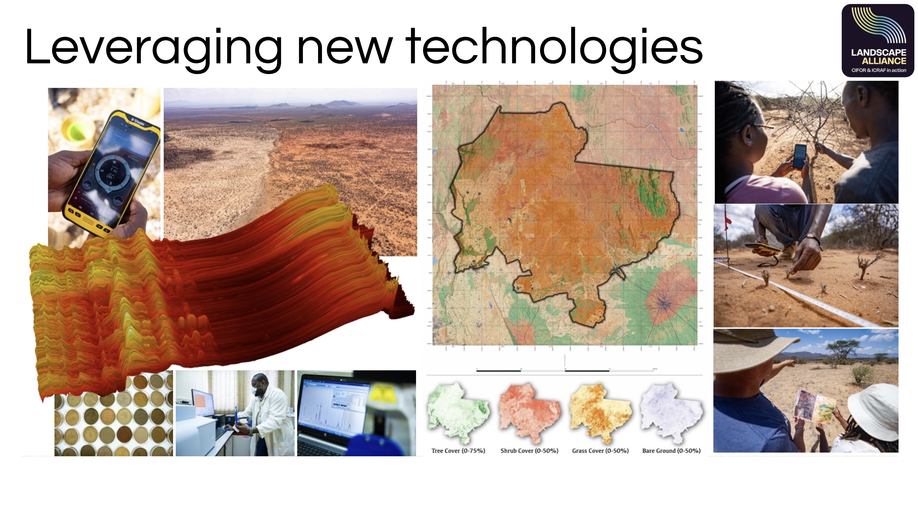 Digital monitoring systems can help connect Earth observation, field data, and local knowledge across scales.
Beyond reporting: monitoring as a learning system
Monitoring has traditionally been designed to support reporting and accountability functions, and while this is important, it is only a fraction of the value of monitoring. Monitoring is also a learning process and it helps practitioners understand what is changing, how and why it is changing, and whether restoration strategies need to be adapted.
Learning-oriented monitoring is part of an ongoing cycle of action, observation, reflection and adaptation.
Fragmentation and challenges in the GGW monitoring ecosystem
Across the Great Green Wall, governments, NGOs, researchers, development partners, and communities are generating more restoration data than ever before. This includes field observations, project records, geospatial datasets, satellite-based products, citizen science data, ecological surveys, and indicators linked to land health, vegetation dynamics, climate risk, biodiversity, livelihoods, and resilience.
Yet much of this information remains fragmented across projects, institutions, platforms, and reporting frameworks, with different actors collecting different types of data using different methods, indicators, spatial units, and timeframes. As a result, comparability, synthesis, coordination, and shared learning remains a challenge.
These monitoring systems are often designed around separate institutional needs, donor requirements, or project cycles which means information may flow upward for reporting but never feeds back to field teams, local actors or communities in forms that support decision-making.
The opportunity is therefore to build stronger evidence ecosystems that connect field data, remote sensing, community knowledge, national reporting processes, geospatial platforms, and regional learning infrastructures in ways that are interoperable, trusted, and useful.
Turning evidence into better decisions
For monitoring to support such transformation, it must be connected to different kinds of decision-making like where to intervene, which restoration options are most appropriate, whether interventions are producing expected outcomes, how strategies should change as terrain conditions evolve, etc.
In the Great Green Wall, this could mean identifying areas where vegetation recovery is lagging despite investment; detecting erosion or drought risks and hotspots; comparing outcomes across restoration approaches; improving intervention targeting; supporting early warning and anticipatory action planning; or documenting where community-led approaches are generating durable ecological and livelihood benefits.
The webinar was structured to explore exactly this progression: from understanding complex landscapes, to recognizing different evidence needs, to examining how institutions can turn monitoring information into shared learning and action.
The K4GGWA Cross-Learning Event
The event was designed to progress from a common understanding of why monitoring matters in complex dryland landscapes (like the GGW), through to practical examples from different stakeholder perspectives, bringing those perspectives together in a panel and peer exchange focused on what opportunities lie ahead for Great Green Wall monitoring.
1. Framing
How and why monitoring helps learning and adaptive management
How and why monitoring helps learning and adaptive management
2. Comparison
Different actors and evidence
Different actors and evidence
3. Synthesis
Understanding how different perspectives fit together
Understanding how different perspectives fit together
4. Action!
Priorities for strengthening the ecosystem
Priorities for strengthening the ecosystem
1. Framing keynote: monitoring as a learning system
The event opened with a framing presentation by Tor-Gunnar Vågen, Principal Scientist and Head of the Spatial Data Science and Applied Learning Lab at the Landscape Alliance and CIFOR-ICRAF. The keynote situated monitoring within the wider transformation taking place in the Great Green Wall: from the outmoded idea of mass tree-planting towards a much more monumental undertaking of restoring landscape ecological function and resilience across highly variable socioecological systems.
The presentation emphasised that if restoration is intended to restore and strengthen ecosystem function, livelihoods, and increase resilience, monitoring must help us understand trajectories of change and how soils, vegetation, water, biodiversity, land use, and social systems interact and respond over time.
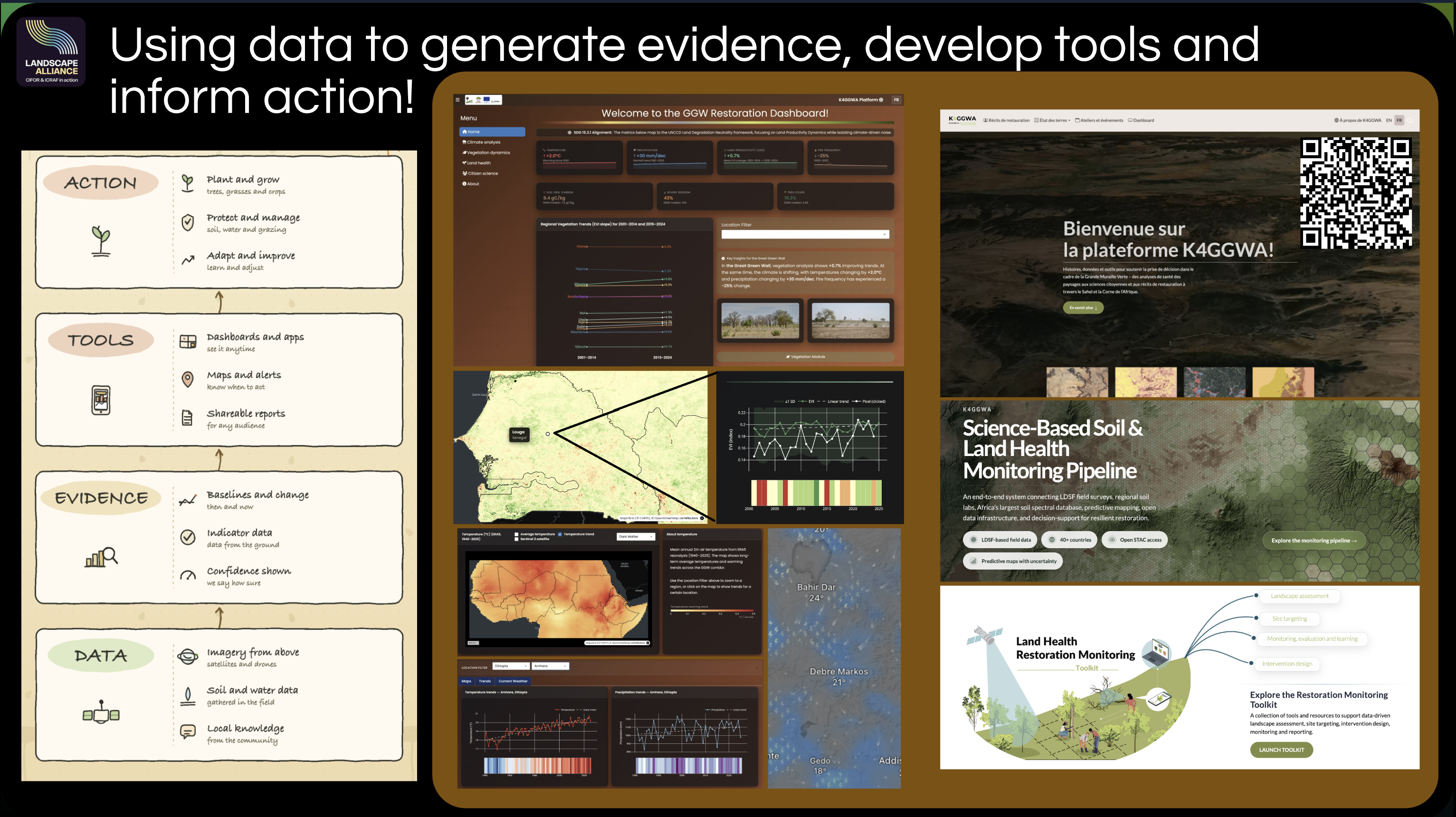 Suggested image: a keynote slide illustrating monitoring as a continuous cycle of action, observation, learning, and adaptation.
2. Monitoring Marketplace: different users, different questions
The Monitoring Marketplace then explored how monitoring is understood and used by different groups within the Great Green Wall ecosystem. The three case studies showed that governments, implementing organisations, researchers, communities, and digital-platform experts may work with the same landscapes but ask different questions of the evidence.
The purpose was to show the wider monitoring landscape and the diversity of needs, scales, tools, constraints, and decisions that monitoring systems must serve.
Technical expert and digital-platform perspective
Amelia Hawkins, Geospatial Scientist with the Landscape Alliance and CIFOR-ICRAF, explored how digital systems can support monitoring across large and heterogeneous landscapes. The presentation highlighted the opportunity to combine Earth observation, field observations, predictive mapping, open geospatial infrastructure, and local knowledge within shared decision-support tools.
The key message was that digital platforms and in particular geospatial platforms, are powerful tools for exploring different indicators through time, identify hotspots and coldspots, compare evidence across scales, and move from broad regional patterns toward questions and matters of local import. The presentation stressed that technology is only useful when it is accessible, interpretable, interoperable, and connected to real-world decisions.
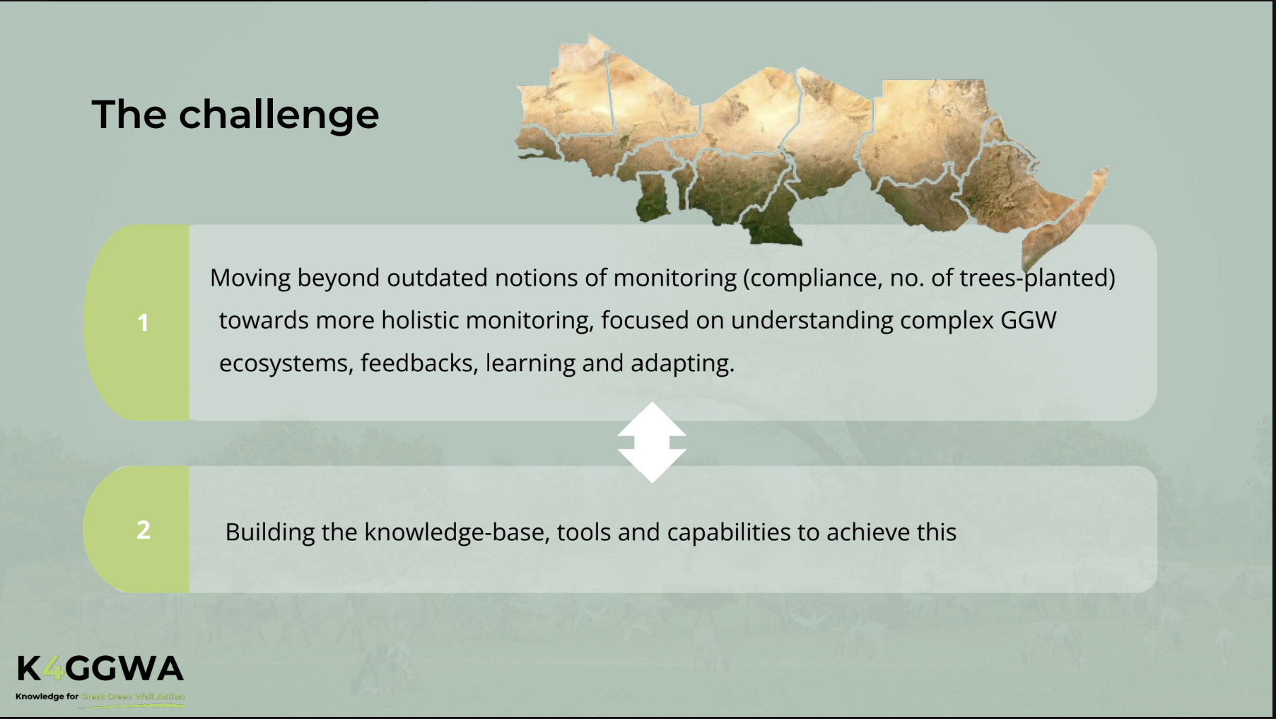
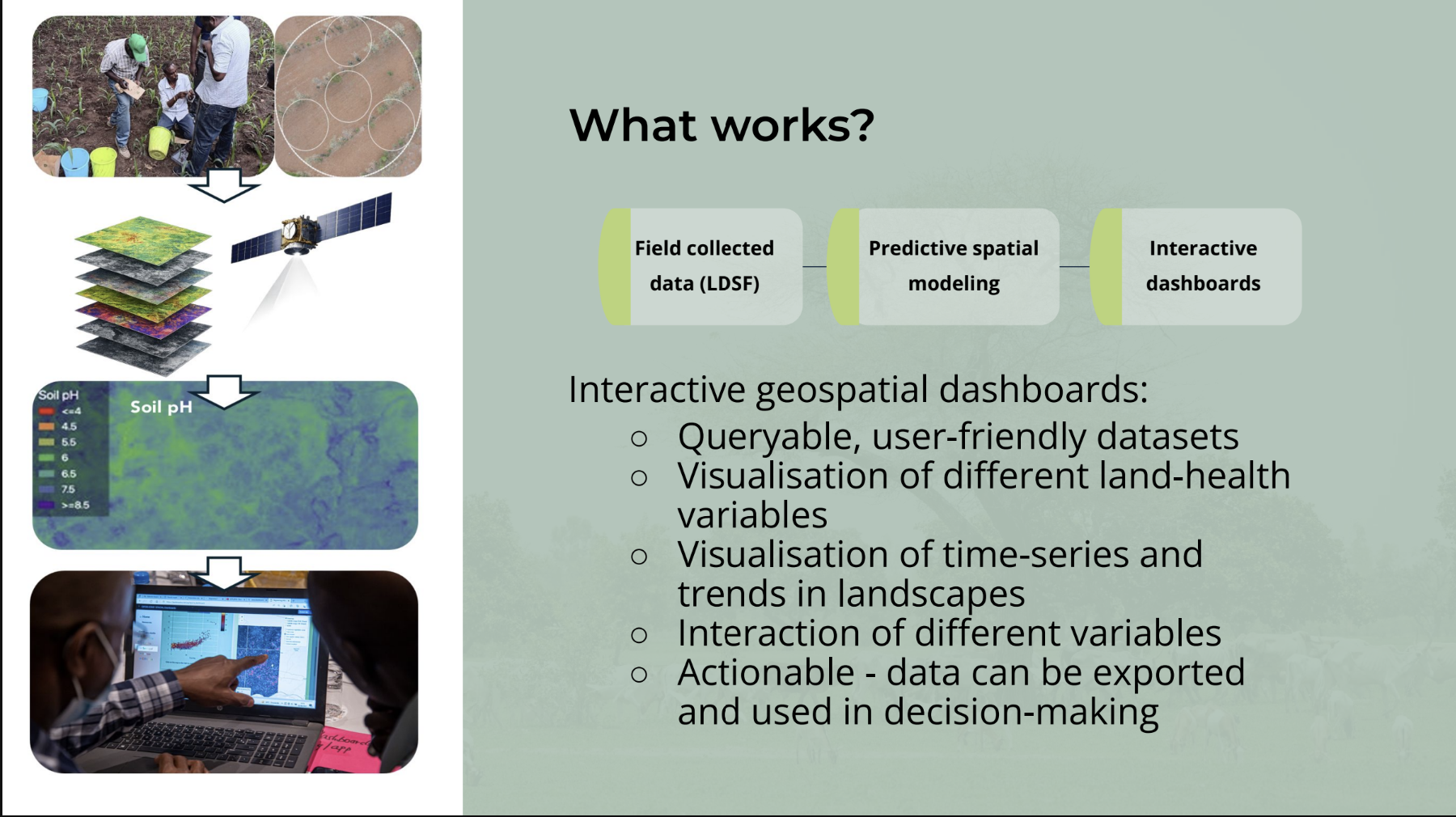
Selected slides from the presentation illustrating the key concepts discussed.
Practitioner and MEL perspective
Mbenda Camara, MEL Specialist with AVSF, brought the perspective of organisations implementing restoration and resilience programs on the ground. This case study placed emphasis on the practical realities of monitoring including defining meaningful indicators, gathering reliable information with limited time and resources and ensuring that evidence remains useful to field teams and participating communities.
The presentation highlighted that monitoring frameworks often prioritise what is easiest to aggregate and report, while practitioners need timely information that helps them understand effectiveness of interventions, community participation, unanticipated challenges, etc.
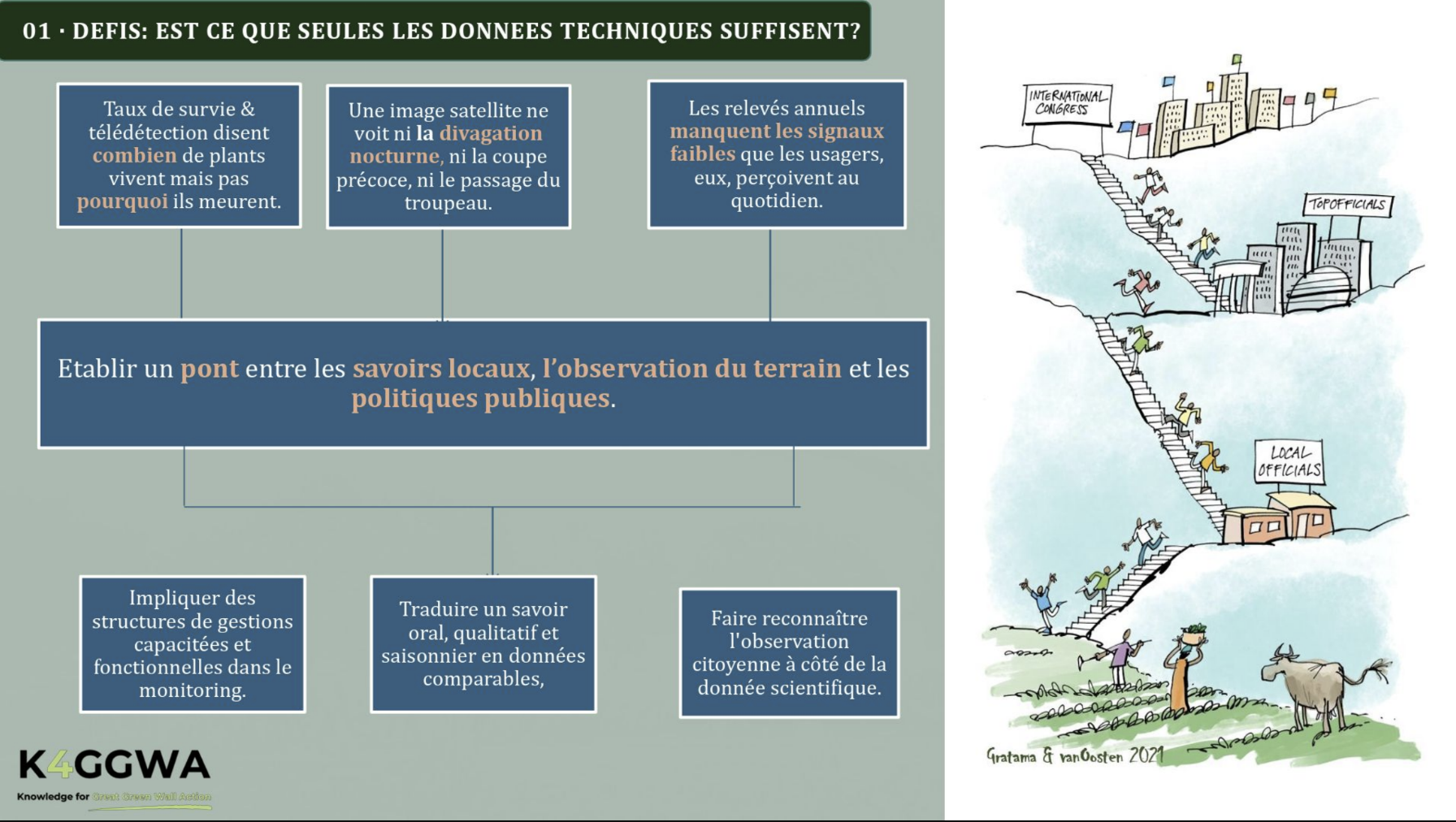
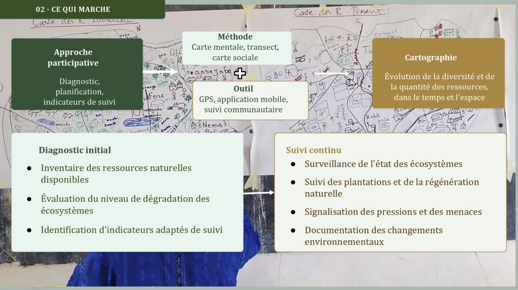
Selected slides from the presentation illustrating the key concepts discussed.
Government and national GGW Agency perspective
Bizuayehu Alemu of Ethiopian Forestry Development presented a government and national-institution perspective. This contribution brought attention to the role of monitoring in national planning, coordination, policy implementation, target tracking, and reporting across programs that may involve many partners and administrative levels.
From this perspective, the challenge is establishing systems that are consistent and nationally owned, capable of connecting project-level evidence with wider policy and reporting frameworks. The presentation reinforced the importance of integrating many different kinds of evidence at varying scales, for long-term capacity and data systems that remain functional beyond individual project cycles.
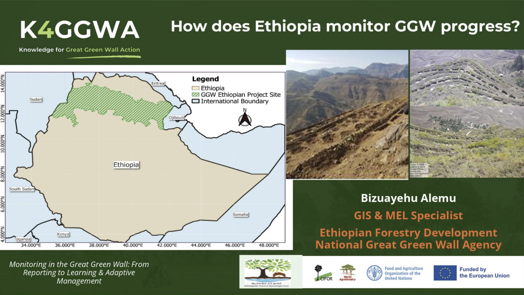
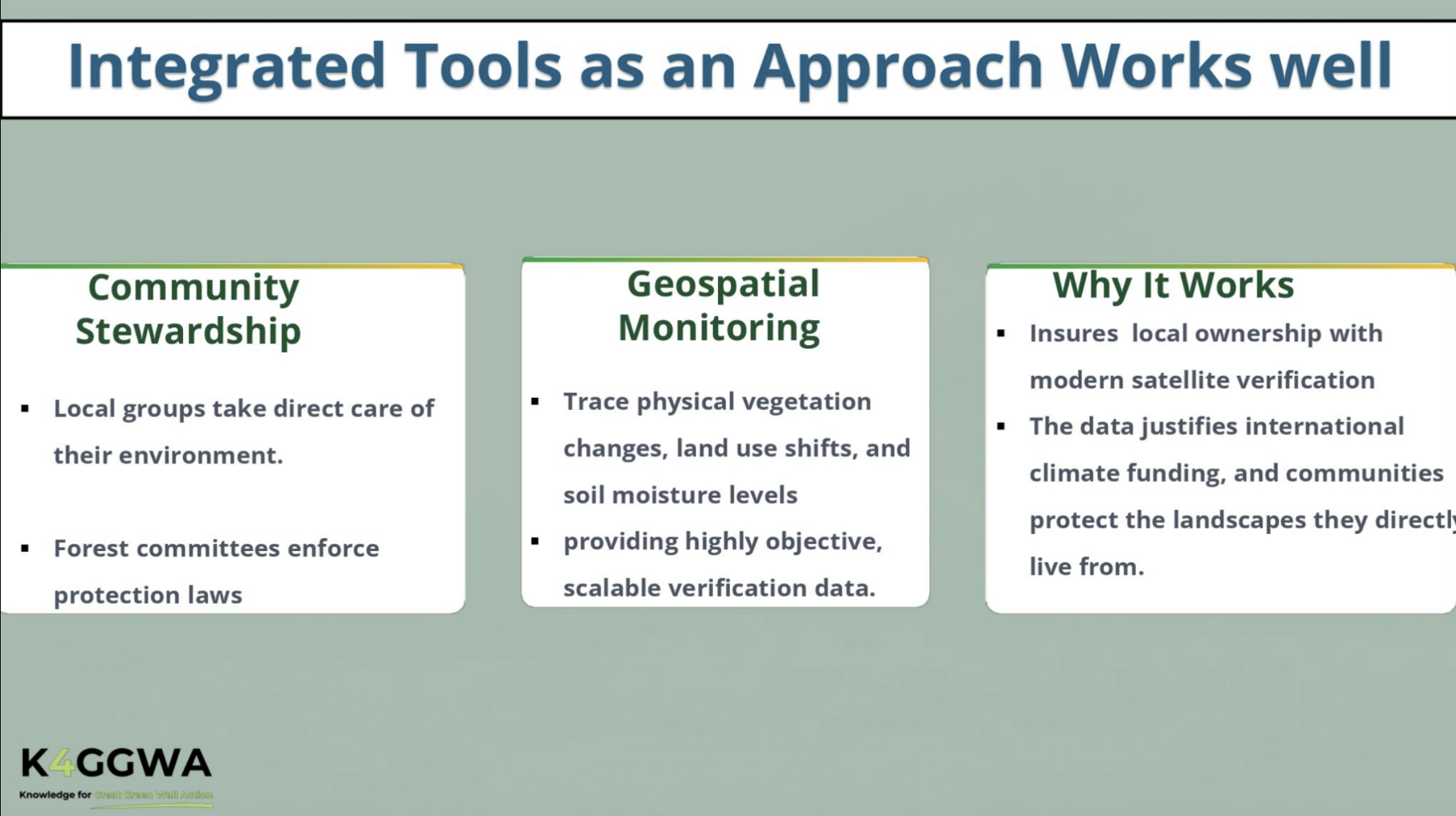
Selected slides from the presentation illustrating the key concepts discussed.
ImportantWhat these case studies reveal about the monitoring landscape
The marketplace demonstrated that fragmentation of tooling is both technical and due to a difference in purpose and scales of operation.
A stronger monitoring ecosystem must therefore accommodate different questions while creating enough shared structure for evidence to be used between scales and institutions.
3. Insight-extraction panel: making sense of the monitoring landscape
The panel brought the marketplace examples into dialogue. With contributions from specialists including Leigh Ann Winowiecki, Christine Magaju, and Lukelysia Mwangi, the discussion examined what the different cases collectively reveal about the present state of monitoring in the Great Green Wall.
The panel moved the conversation beyond individual tools and projects toward several system-level questions:
- How can monitoring remain scientifically grounded while also being practical and locally meaningful?
- What is the importance of soils and and soil biological health?
- How can Earth observation, systematic field measurement, citizen science, and community knowledge validate and strengthen one another?
A recurring insight was that we need to close the gap between data, interpretation, planning, implementation and learning - that we should should never see data collection as the end point but rather as an ongoing activity that support decision-making, using participatory tools, and scientific methods for understanding soil and vegetation health.
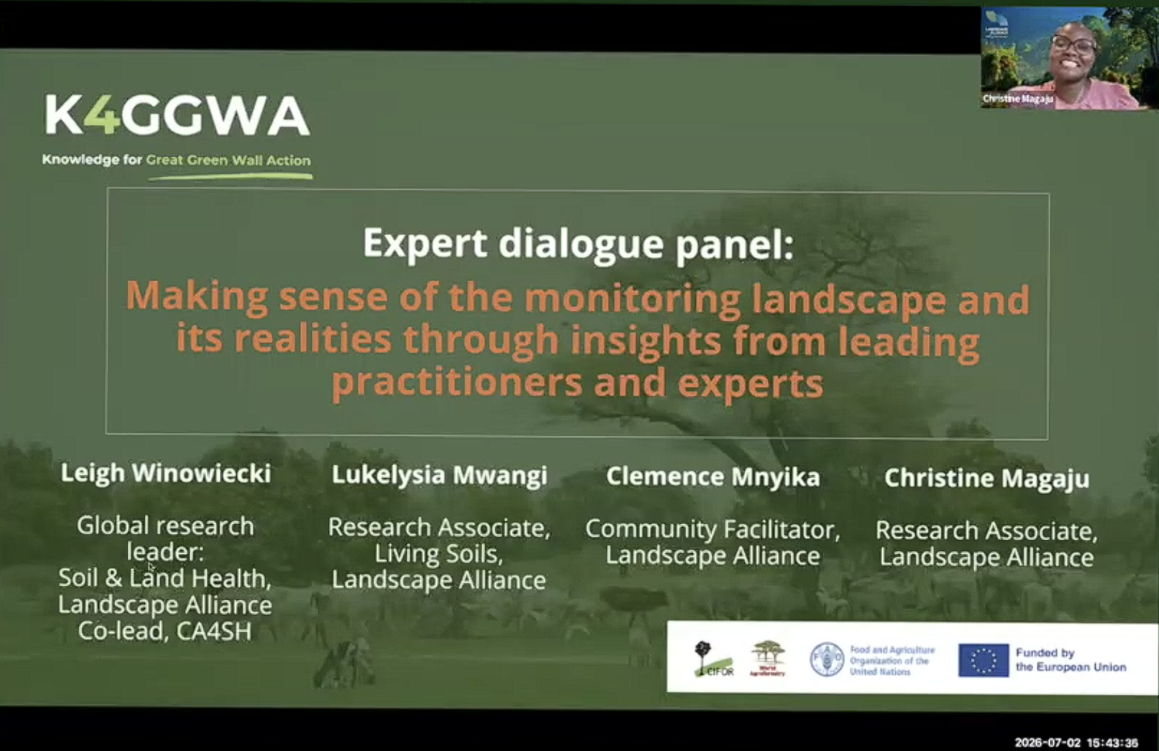 Our expert dialogue panel featured world-leading soil scientists and community participation facilitator experts.
4. Peer-to-peer exchange: from shared insights to practical priorities
The final segment moved participants into small-group dialogue. This created space for people working in different countries and institutions to compare experiences, identify common constraints, and discuss what would make monitoring more useful within their own work.
The peer exchange focused on strengthening the wider monitoring ecosystem and participants were invited to consider where collaboration is most needed, what information is currently missing or disconnected, how monitoring results could be returned more effectively to the people producing them, and what capacities are required to move from data collection toward interpretation and action.
This final segment was essential to the logic of the event - after all, a webinar about adaptive management should itself create opportunities for reflection and feedback! The small-group dialogue turned allowed us to walk the talk and show how evidence becomes valuable when people have the space, capacity, and opportunity to make sense of it together.
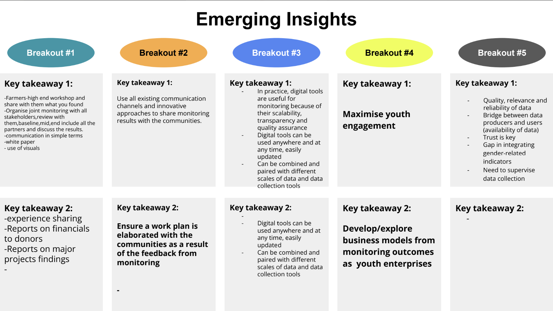 Summary of emerging insights extracted from the peer-exchange break-out session.
The takeaway: monitoring is a shared system for learning, collaboration, and adaptive management
This event explored how monitoring *starts with a need to understand complex and changing landscapes*, that different stakeholders operate with different needs at different scales, with distinct questions, methods, and institutional capacities, and that dialogue is required to connect those perspectives, and to identify the ways we can together, bring the evidence together to support learning, adaptation, and better restoration outcomes.
What does this mean for K4GGWA?
For K4GGWA, the discussion reinforces the importance of open, interoperable, and learning-oriented digital infrastructure. The K4GGWA platform ecosystem is being developed to meet this need, as a decision-support tool that brings together different lines of evidence and tooling to help stakeholders navigate restoration evidence across scales.
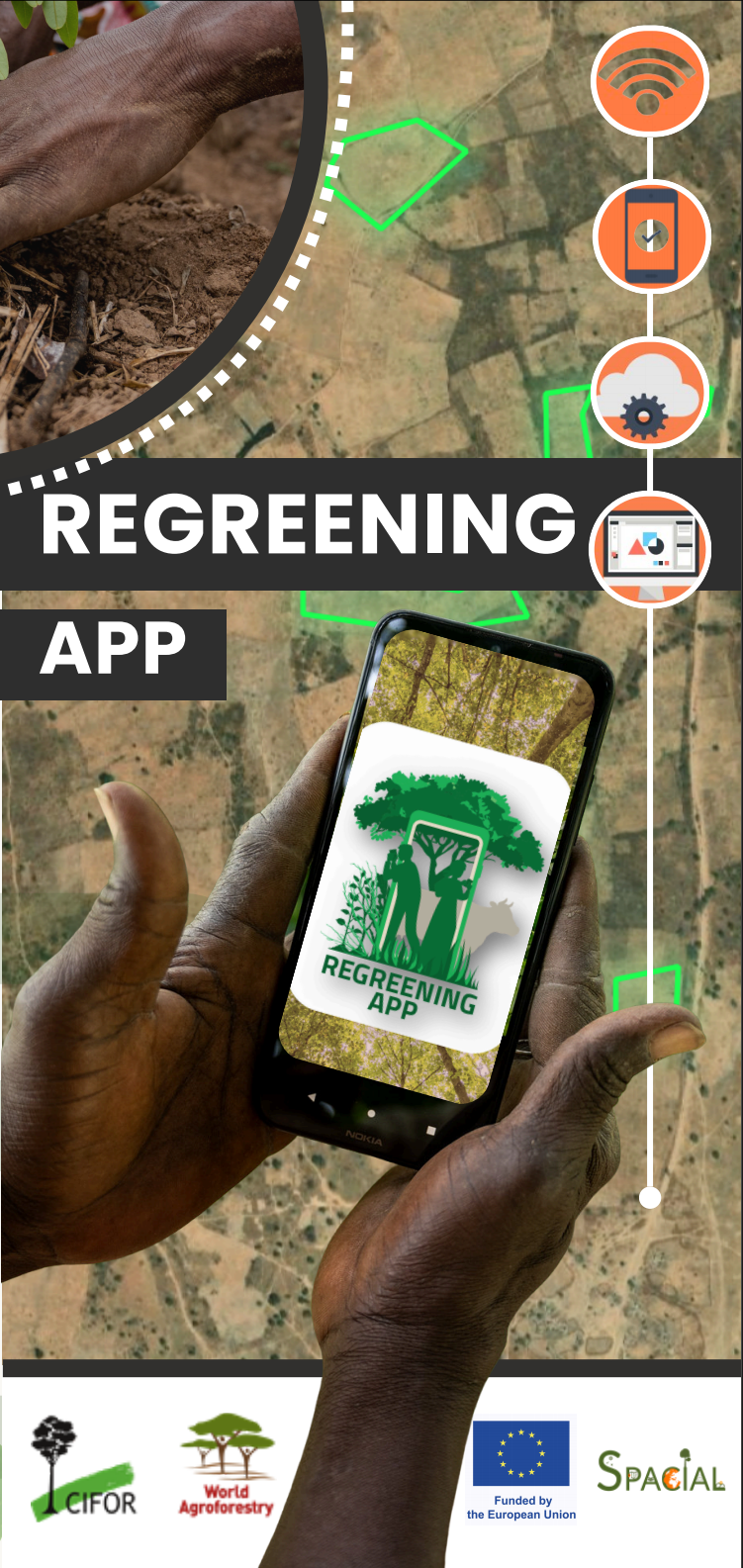
This includes interactive geospatial dashboards, predictive land health maps, climate analytics, open-access data infrastructure, tutorials, and citizen-science monitoring tools such as the Regreening App. Together, these tools can help support landscape assessment, restoration targeting, intervention design, monitoring, reporting, and communication.
Realising the potential of monitoring in the Great Green Wall requires institutional ownership, local capacities, open and interoperable systems, sustained investment in scientific infrastructure and data collection, and stronger evidence literacy across the restoration ecosystem.
Learn more
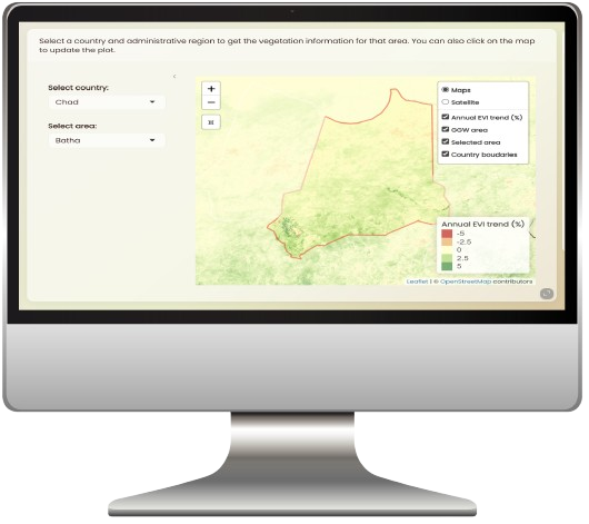
GGW Restoration Dashboards
Geospatial platform
Explore the GGW Restoration Dashboard, land health and climate analytics, and data access and export options.
Regreening App & DRS
Citizen science
Learn more about the Regreening App ecosystem for restoration monitoring, geolocated field data collection, and citizen science workflows.
Land Degradation Surveillance Framework (LDSF)
Field data & predictive modeling
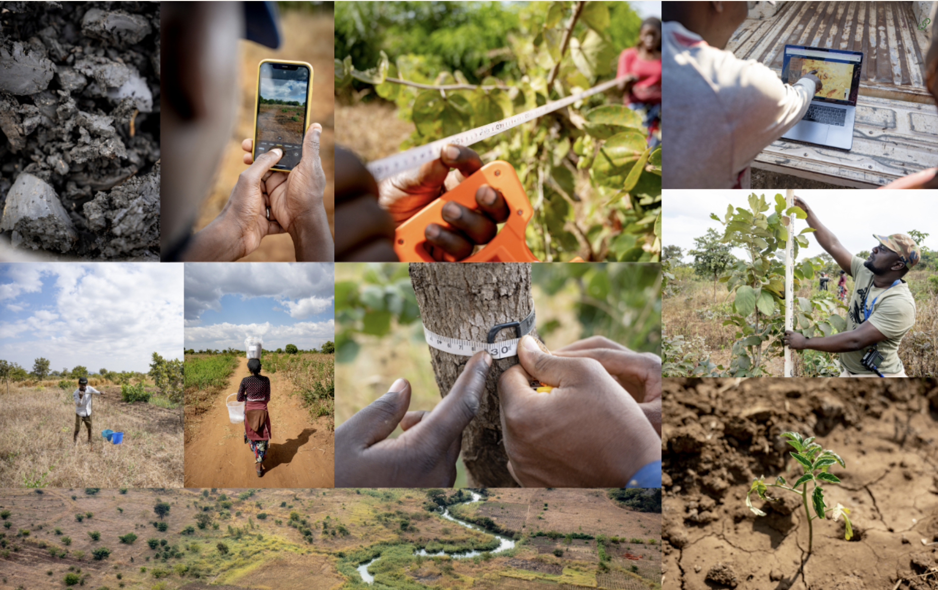
Discover the standardized field methodology and predictive modeling workflows underpinning many land health datasets used across the Great Green Wall region.